Abstract/Summary
1. Introduction
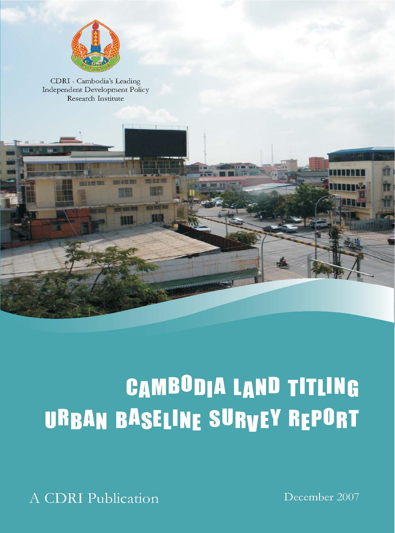
The Ministry of Land Management, Urban Construction and Planning (MLMUPC) is implementing a land management and administration project (LMAP) with support from international donors in order to strengthen land tenure security and land administration systems in Cambodia. Among other activities, LMAP is undertaking a systematic land-titling programme in which 1 million titles will be issued during the first phase (2002–07). During this phase, LMAP is issuing land titles in the urban and peri-urban areas of Phnom Penh municipality and Siem Reap district, as well as other urban areas in the country.
The Cambodia Development Resource Institute (CDRI), in collaboration with the MLMUPC, collected baseline survey data in and around Phnom Penh, Siem Reap and Serei Saophoan (i.e., Banteay Meanchey) from October to December 2005. CDRI conducted 2706 household interviews in areas representing a mix of property characteristics and land use patterns, as well as dynamics (e.g., transactions, documentation, conflicts). The primary objective of the urban baseline survey, as with an earlier rural survey (CDRI 2004), is to generate data that will provide a basis for a systematic comparative evaluation of the economic and social impact of the land-titling programme after three years.
The expected benefits of land titles in urban areas include increased investment in residential and commercial property, improved access to formal credit, more efficient markets that allocate land to more economically productive uses, fewer conflicts and better land administration services, including the use of the official registry to facilitate land transactions. Other expected benefits include increased government revenue from taxes on land transactions. Government planners and others also expect more secure land tenure through land titles to play an important role in reducing poverty in both rural and urban areas. Land titles are therefore expected to strengthen the institutional framework of urban development and thus contribute to sustainable macro-economic growth.
The economic impact of land titles in the three urban areas must also be considered in the wider context of the rapid growth and longer term development plans of each, as outlined in the master plans for Phnom Penh and Siem Reap, because the areas vary in economic, social and geographic characteristics. However, the rapid growth of the real estate and housing markets, the expanding business sector, including small and medium enterprises (SMEs) and foreign direct investment (FDI), along with the expanding credit markets for consumer loans, home mortgages and commercial investments, suggest high consumer and business confidence in all three urban areas in the short-medium term. As a result, LMAP’s systematic land-titling may be very timely in strengthening the institutional framework that supports economic growth in these urban areas.
The potential social impact of land titles must also be considered in the context of the wide disparities in wealth between upper and lower income groups, primarily with respect to equity, gender and poverty reduction. For example, upper income households could benefit more than others from the titles because the higher value of their property may make them eligible for larger loans from institutional lenders, while lower income households may not be able to obtain credit because they may not meet other loan requirements. As for the distribution of benefits according to the sex of household head, female-headed households should be able to obtain more loans that can be used for housing improvements and business start-ups and expansion. Women’s security of tenure may also be strengthened in cases of divorce or the death of a husband, although tenure rights represented by land titles must be upheld by the local authorities and courts in cases of conflict. In terms of poverty reduction, the urban poor may benefit from secure tenure in cases where they are eligible for land titles. There are, however, concerns that the poor could end up losing land by selling it for short-term gain in response to rapidly increasing land values. In cases where the poor reside in areas for which they may not be eligible for land titles, alternative approaches need to be developed to regularise or otherwise provide secure land tenure for them.
The assumptions and predictions of government planners and donor advisers about the expected benefits from land titling are primarily based on property rights theories that link investment incentives to secure land tenure, as well as scattered empirical evidence from research in countries where such programmes have been implemented. The basic argument is that people are more likely to invest resources in productive activities when they are confident that they, or their heirs, will enjoy the benefits of such investments in the future. (Brandao and Feder 1996; Barzel 1997). Another set of arguments supporting improved tenure security in the form of land titles links property ownership to the creation of potential wealth and affluence. De Soto (2000), for example, has argued that the poor in developing countries actually possess substantial assets, albeit in forms of “dead capital” that cannot easily be used for investment. This argument suggests that governments should provide property ownership in the form of legal titles that the poor can use as collateral for credit for investments, leading to significant reductions in poverty and improved well-being.
Formal land titles, however, are not the only governance mechanism that provides security of land tenure. Researchers have identified a number of other land tenure mechanisms in urban areas around the world, including customary tenure and a wide range of non-formal tenure categories with different interlocking forms of legitimacy (Payne 2000; Mulamir and Payne 2001). As a result, there may be no absolute standard by which security of land tenure can be assessed. The use of formal titles to govern land tenure must be understood as part of a market approach to urban development that takes place within a broad arena of formal institutions, including credit institutions, regulated real estate markets and official land management and registry systems.
In addition to land titles, land use classification, long-term planning (e.g., master plans) and enforceable zoning regulations are also essential for promoting better urban land management and efficient development. Land classification that clarifies private and public lands will help reduce conflicts and promote good governance. For example, private encroachments on public space, such as informal settlements, pose a variety of difficult governance issues, including opportunities for informal tax collection by public officials. Long-term planning by city officials and private investors is also facilitated by enforceable zoning regulations. For example, residential, commercial and industrial activities all require a variety of services involving different technologies, and certain private activities impose costs (i.e., externalities) on the public that can be minimised with better planning and zoning. Private investors must also be able to make accurate predictions about land use and values over time. The potential impact of land titles on investments may be reduced in the absence of publicly available master plans and enforceable zoning regulations.
The methodology used in the urban baseline survey employs a simple model to make predictions about likely impacts when location and household factors are combined. For example, high potential impact (HPI) households—based on annual per capita consumption quintiles in each urban area survey—will benefit most in high capacity areas (HCAs) situated along main roads and streets characterised by better access to utilities and services. Conversely, low potential impact (LPI) households will benefit least in low capacity areas (LCAs) situated off the main streets with less access to utilities and services. The degree to which HPI households in LCAs and LPI households in HCAs benefit from land titles will depend on where and at what rate urban infrastructure and access to utilities and services improve. This again suggests that overall land-titling impacts may be undermined by the absence of strategic development master plans and enforceable zoning regulations. It also suggests that land-titling effects can be enhanced by strong enforcement of property rights in the face of encroachment.
This model structures the research according to a series of testable hypotheses using quasi-experimental methods that compare household survey data from the current baseline survey (T0) with data that will be collected at a later point in time (T0 + x). The research focuses on several key indicators of land titling impacts, including housing improvements and business investments (e.g., start-ups, expansions, employment) access to and the use of formal credit, land use, land values and transactions, the use of the official registry to facilitate land transactions and conflict reduction and resolution. While potentially robust, this approach faces several constraints involving “tracing problems” (i.e., residents who leave a particular area after titles have been issued) and “time-lapse problems” (i.e., short-term impacts may vary from medium and longer terms impacts). “Measurement problems” may also arise when the gap between the time of the baseline survey and the issuance of titles becomes so large that intervening variables distort or cloud the impact of land titles on key indicators.
2. Findings and Observations
The direction and rate of growth in the three urban areas varies according to geographic, demographic, economic and institutional circumstances. Phnom Penh’s economy is structured by manufacturing (garments) and services (schools, financial institutions, tourism), as well as transportation as it positions itself strategically with regard to regional and sub-regional highway and rail transport corridors. The high rate of natural population growth and migration are driving the city to expand in all directions except eastward across the Mekong River. Five planned satellite cities and new transport infrastructure will likely steer the direction and set the pace of land market development in impacted areas for the foreseeable future. Elsewhere, land use patterns and infrastructure development may unfold in a haphazard way according to private sector interests in the absence of a master plan with clear zoning regulations.
Siem Reap’s economy is largely driven by rapidly expanding tourism and, to a much lesser degree, transport. Siem Reap’s high rate of population growth from immigration will increase demand for residential housing, while increasing numbers of domestic and international tourists will place more demand on accommodation, services and infrastructure. Siem Reap is likely to expand primarily to the east and south-east, because growth possibilities west and north of the city are constrained by Apsara Authority polices governing land use in the Angkor Heritage Zones 1 and 2. For this reason, Siem Reap may currently have a stronger land use planning and enforceable zoning mechanisms than Phnom Penh.
Serei Saophoan is located in the north-west of the country at the convergence of National Route 5 connecting to Battambang and Phnom Penh and National Route 6 connecting to Siem Reap to the east and Poipet to the west on the Thailand-Cambodia border. This strategic location suggests that Serei Saophoan will likely develop into an important transportation and commercial hub in the medium- to long-term. The surrounding area is fertile farmland in which agriculture is becoming increasingly mechanised, and as a result, Serei Saophoan could eventually emerge as an important agro-processing zone. Its commercial and residential areas are structured according to a more or less rectangular grid with wide, albeit largely unpaved, roads and streets that should facilitate the development of urban infrastructure and services in the future. It is likely that the city’s commercial sector will initially expand in three directions along the major national routes, while residential areas will develop off the major highways.
Given such variations in the characteristics and dynamics of each urban area, it is likely that land-titling impacts will vary across the peri-urban and urban sectors of each as well as across different households. Generally speaking, the recent trends in the key indicators of such impacts suggest that land titles are likely to have multi-dimensional impacts, many of which may be indirect, and will therefore help strengthen the institutional framework of Cambodia’s current growth. The degree to which such benefits are equitably distributed, however, will depend on how LMAP prioritises potentially conflicting or competing objectives that may sidetrack poverty reduction objectives. For example, the distribution of benefits will depend on where the various provinces and municipalities decide to target and sequence land-titling efforts, and the degree to which the focus is on optimising either the economic or social impact of land titles. The economically and socially optimal impacts of land titles therefore may not be the same across all households.
3. Policy Implications and Research
During the course of the baseline survey project, several issues emerged as important areas requiring more focused follow-up. These include issues associated with targeting land tenure interventions in support of the government’s poverty reduction objectives, land use planning and zoning and facilitating land transactions through the official registry. This discussion concludes with recommendations for further research in matters pertaining to the urban poor and gender equity in land tenure security.
Related Publications
Cambodia Vision 2030 and Beyond: Charting A Path for Resilient, Sustai...

20-Dec-2023
The 15th Annual Cambodia Outlook Conference held on 23 November 2023 brought together 500 influential decisionmakers in...